
Geolocation Questionnaire App: Pick or Build One
What a geolocation questionnaire app is, which features matter, and when to use a ready-made tool or build your own for field surveys.
Also available in: 한국어, 日本語, Português (Brasil), Español, हिन्दी, Français, 简体中文, Italiano, Nederlands, Deutsch
On this page
A geolocation questionnaire app is a survey or form that records where each answer was given, usually from the phone's GPS. Use a ready-made tool for simple or one-off surveys. Build a custom geolocation questionnaire app when you need your own branding, workflow, integrations or data rules.
What is a geolocation questionnaire app?
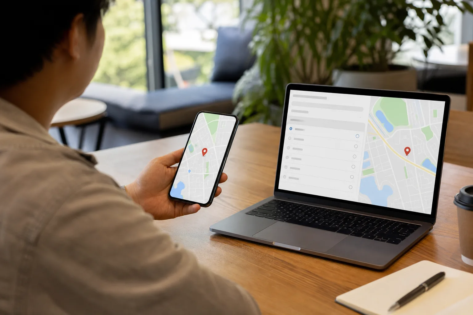
A geolocation questionnaire app is a survey or form that stamps each answer with the place where it was given. You ask the question, the person answers, and the app saves the answer next to a pair of map coordinates. You may also see it called a field data collection app, a field survey app or a GPS survey app. They all mean the same idea: a questionnaire with geolocation built in.
The location comes from the phone. Geolocation data has three common sources: the GPS chip, which reads satellite signals and works best outdoors; Wi-Fi networks nearby, which help indoors; and the mobile network, which gives a rough position from cell towers. Phones blend these, so the same survey can be precise on a sidewalk and loose inside a warehouse.
This is not a land-survey or mapping app. Those tools measure boundaries, draw maps and plot features, and the people using them are surveyors and GIS (geographic information system) analysts. A questionnaire app does the reverse. Its main job is collecting answers from people, and the location is a label on each answer. If you search for this and land on surveying equipment, you are on the wrong results page.
What do people use a field survey app for?
People use a field survey app whenever the answer matters more if you know where it came from. The pattern is simple: someone walks to a place, answers a set of questions on a phone, and the app records the spot. That is the core of how to collect data from a field without paper forms and re-typing.
- Site inspections: a manager checks a building, job site or property and the report shows which address each finding belongs to.
- Door-to-door and community surveys: canvassers log each household's answers, so you can see which blocks you covered and which you missed.
- Service checks: a supervisor confirms a delivery, cleaning or repair happened at the right place.
- Event feedback: attendees rate sessions or booths, and the location separates one room or venue from another.
- Nonprofit outreach: staff record needs and referrals at each site visited, then report coverage to funders.
Here is a concrete case. A food pantry sends three volunteers to survey neighborhoods about access to groceries. With location on every answer, the director can see that all responses came from one side of town. That gap is invisible in a spreadsheet of answers alone.
Which features matter in a GPS survey app?
Five features decide whether a GPS survey app works in real fieldwork: offline use, accuracy controls, photos, skip logic and exports. Offline use comes first. Basements, rural roads and crowded venues often have no signal, so the app should save answers on the phone and sync them later. Without that, the survey fails exactly where you need it.
Accuracy comes next, and it is where surveys quietly go wrong. Phones report a location along with how sure they are about it. A good app lets you set a GPS timeout, meaning how long it waits for a fix, and a minimum accuracy. If it saves an answer before it has a good fix, the point can land on the wrong street or the next building over. Your map then looks tidy but misleads you. For example, a site inspector standing indoors might log a finding 80 meters away, and you would assign the problem to the wrong property.
The rest are practical. Geotagged photos let a worker attach evidence that carries its own location. Skip logic hides questions that do not apply, so a person who answers "no" to "Do you rent?" never sees the landlord questions. For exports, check that you can get CSV or spreadsheet files and that coordinates use WGS84, short for World Geodetic System 1984, the standard latitude and longitude system GPS uses. If you plan to use GIS software, pick an app that exports in formats those platforms read, or connects to them directly. Some tools do, so confirm it before you commit.
Should you use a ready-made tool or build your own?
Use a ready-made tool for a simple or one-off survey. Build a custom geolocation questionnaire app when you need your own branding, a set workflow, links to your other systems, or control over how location data is stored. The deciding question is whether the tool's limits will get in your way before the project ends.
A one-week community survey with ten questions and one volunteer team fits a form tool well. You set it up in an afternoon and export a spreadsheet. A company that sends inspectors to 300 sites a year, routes each finding to a manager, and writes results into its own database will outgrow that setup fast.
| Option | Best fit | Watch for |
|---|---|---|
| Survey123 | Teams that already use ArcGIS and want survey answers to land in GIS (geographic information system) software | Tied to the Esri ecosystem and its licensing |
| Mergin Maps | Map-first fieldwork, especially if your team already uses QGIS | Built around maps, so plain questionnaires can feel heavy |
| NestForms | Form-style field collection without much setup | Check current limits before you commit |
| Buildfire plugin | Adding a survey or location feature to an app you already build on Buildfire | Works inside that platform's rules and pricing |
| Custom app | Your own branding, workflow, integrations and data rules | Costs more up front: a mobile app starts at $3,500 with AppDesign360, and a Blueprint from $1,250 comes first |
Most of these tools offer a free tier or trial. The limits, such as number of responses, users or stored photos, differ by vendor and change over time, so read each current pricing page before you plan around "free." Test the exact feature you need, such as offline sync or coordinate export, on the free plan first.
How do you set up a questionnaire with geolocation, step by step?
Setting up a questionnaire with geolocation takes five steps, and the order matters because location settings depend on how people will actually answer. The model to copy is a survey that exports each answer with its latitude and longitude in WGS84, the format SnapSurveys uses, so any map or GIS tool can read the file without conversion.
- Write the questions first. Keep each one short and cut anything you will not use. A 12-question form gets finished more often than a 40-question one.
- Decide when location is captured. Options are when the form opens, on each answer, or when the person taps submit. For a door-to-door survey, capture at submit, because that is when the person is standing at the door.
- Set the GPS timeout and minimum accuracy. Give the phone enough time to find a fix, such as 20 to 30 seconds outdoors, and decide whether a weak fix blocks submission or just gets flagged. Those numbers are starting points; adjust them after your pilot.
- Pilot with three to five people. Send them to real locations, including a basement or a rural stretch, and compare the logged points with where they stood.
- Export and review. Download a CSV with latitude and longitude in separate columns in WGS84. Open it on a map and check that the points sit where the work happened.
If a pilot point lands on the wrong street, fix the timeout or accuracy setting before you collect real data. Changing it midway leaves you with two sets of answers you cannot compare.
How do you handle privacy and consent?
Ask permission, say what you collect and why, state how long you keep it, and collect only what you need. A location is personal data when it can be tied to a person, and a home address is more sensitive than a street corner. Rules vary by US state and Canadian province, so check with a lawyer if you collect from the public or handle health information.
Most apps do not follow you around all day. Phones make the app ask first, and people can usually choose to share location only while the app is open, or just once. A questionnaire app only needs a single reading when someone submits an answer, so ask for the narrowest permission your survey works with.
Constant tracking does exist, but only where a person has granted "always" access, as with some delivery, ride or fleet apps. That is not what a field survey needs. If your build asks for background location, you should be able to explain why in one sentence.
- Show a short notice before the location prompt: "We record where you answer so we can map results by neighborhood."
- State retention in plain words, for example "We delete exact coordinates after 90 days." Pick the period that matches your purpose.
- Round or drop coordinates when a neighborhood or ZIP code is enough.
- Never put names and exact locations in the same file unless the project truly needs both.
How do you test location features in different places?
Geolocation testing means checking that your app reads, records and handles a phone's location correctly in the places and conditions where people will really use it. Do it before launch, on real phones, because a map pin that looks right on your desk can be far off in a basement stairwell.
Start with real devices. Answer a few questions outdoors with a clear sky, then again indoors, near a window and deep inside a building. Compare each logged point with where you actually stood. If the gap is large indoors, your timeout and accuracy rules need work, or your flag for weak fixes does.
To test other places without traveling, use location simulation. Apple's Xcode and Android Studio's emulator both let you set a fake position, so you can check a Toronto address, a New York borough and a rural county in an afternoon. Simulation always gives a clean fix, though. It proves your app handles different coordinates, not weak signals.
Offline behavior needs its own test. Switch on airplane mode, submit several answers, then reconnect. Each answer should arrive once, carrying the location from the moment it was given, not from the moment it synced.
- Location prompt appears, and the app still works if someone taps "Don't allow".
- Outdoor and indoor readings match where you stood, within the accuracy you set.
- Weak fixes are blocked or flagged the way you decided.
- Offline answers sync once, with their original coordinates and times.
- The exported file shows latitude and longitude in WGS84 in separate columns.
- Photos attach to the right answer and the right place.
What mistakes, costs and next steps come with a custom build?
Most failed custom builds share four mistakes, and all are avoidable. The cost of a custom geolocation questionnaire app depends on features, but the first steps have fixed starting prices.
- No offline mode. Field workers lose signal in basements, rural roads and large buildings, and answers vanish.
- Ignoring accuracy. Saving every reading as if it were exact sends findings to the wrong address.
- Collecting too much location data. Ask for one reading per answer, not a trail of movement.
- Skipping the pilot. A week with five users finds problems that cost far more after launch.
At AppDesign360, a mobile app Blueprint starts at $1,250. It gives you a clickable prototype, a technical spec and a build quote. The build itself starts at $3,500 for an agreed starter scope on iOS and Android, including App Store and Google Play submission. Offline sync, GIS or database integrations and approval workflows can move the price, so they are written into the scope up front.
| Step | What you get | Starting price |
|---|---|---|
| App Blueprint | Clickable prototype, technical spec, build quote | $1,250 |
| Mobile app build | iOS and Android app, store submission | $3,500 |
Scope, price and launch date are agreed in writing before work starts. You keep your code, hosting and accounts, and new builds include 30 days of fixes from the team that built them. To see whether a ready-made tool is enough or a custom app makes sense, book the free 20-minute discovery call at appdesign360.com.
Key Takeaways
- •Test location on real phones outdoors and indoors, because simulation cannot reproduce weak signal.
- •Use developer location simulation to check many places quickly, then confirm offline sync with airplane mode.
- •Offline mode, accuracy rules, minimal location data and a pilot are the four things custom builds most often skip.
- •A mobile app Blueprint starts at $1,250 and a build at $3,500, with scope and price agreed in writing first.
- •You keep ownership of your code and accounts, and new builds include 30 days of fixes.
What is geolocation testing?
How can you test your app in different locations without moving?
What is a field data collection app?
Where does geolocation data come from?
Start a free project conversation about a website, software, app or marketing.
Discuss Your Project
Comments